

Discover How SatSure Is Driving Global Impact with Earth Intelligence
- In Europe, we partnered with one of the country’s largest electricity utility companies to optimize vegetation management across more than 10,000 km of forested power lines. Leveraging SatSure’s advanced vegetation growth models on the Sparta platform, we achieved a 40% reduction in costs while enhancing contractor audits through satellite imagery-driven intelligence.
In partnership with JICA and the Rajasthan Forest Department, we digitized one of India’s largest forests, leveraging AI and satellite monitoring to boost plantation success and enhance carbon sequestration.
In Uttar Pradesh, we monitored over 11 million hectares of agricultural land, reducing field visits by 60% and saving 7.2 metric tons of CO2 emissions per season.
We have also worked with the Solvent Extractors’ Association of India to monitor mustard crops, and with banks and insurance companies to reduce physical collection visits by 40%.
SatSure Skies - an integrated platform has been deployed at 5 international airports in India, increasing airspace operational capacity by 30% and saving over 40,000 man-hours per airport.
Drive Scalable Yet Sustainable, Industry-Specific Solutions with SatSure
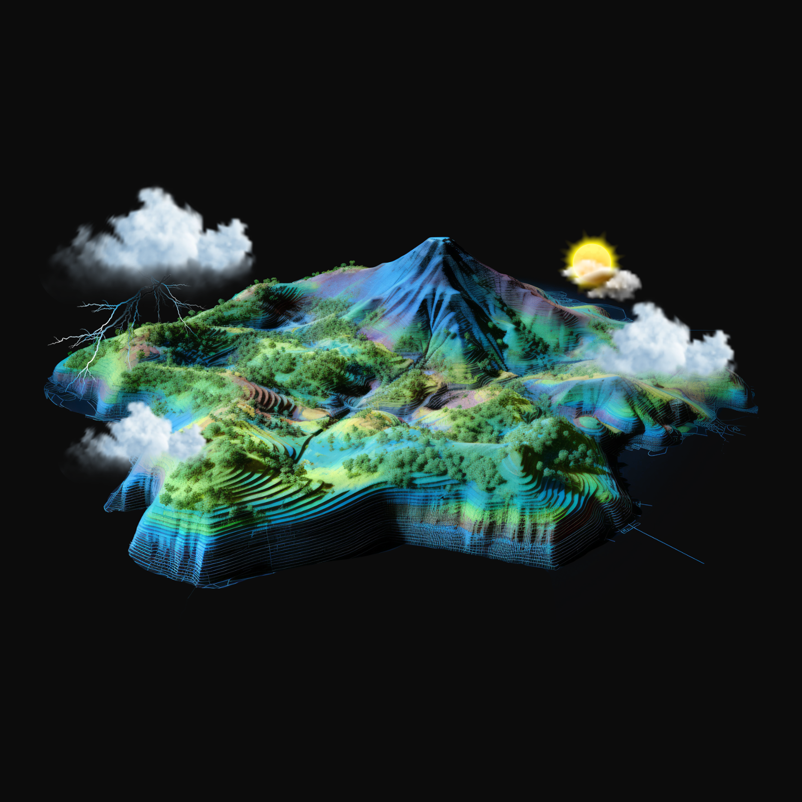
We help industry stakeholders—including government authorities, policymakers, and commercial businesses—achieve scalability and sustainability by driving operational excellence and cost efficiency through SatSure’s industry-specific Earth Observation solutions.
Utilities
Our Vegetation Management Solution automates vegetation risk detection and maintenance prioritization using predictive growth and risk zones—replacing costly, infrequent LiDAR inspections and enabling smarter pruning and audits.
Infrastructure Monitoring
SatSure combines satellite imagery and AI to provide real-time insights into construction progress, resource use, and site conditions—overcoming challenges like inaccessibility, delays, and inefficiencies for smarter, faster infrastructure execution
Forestry
SatSure’s Forest Monitoring Solution uses remote sensing, AI, and open-source tools to monitor forest health, track plantations, manage wildfires, and support data-driven planning, biodiversity conservation and biomass estimation.
Agriculture
We support agri-businesses with satellite-powered insights for market intelligence, streamlined supply chains, —enabling better decisions in yield forecasting, crop monitoring, and sustainable sourcing
Agri Lending
Our agri-intelligence platform provides insights to optimize collections, and support data-driven credit decisions. Advanced tools like cluster ranking, location analytics, and farm lead generation strengthen rural lending and portfolio monitoring.
Aviation
Supporting the AIS to AIM transition, our integrated AIM platform enhances airspace and airport operations with data-driven decision-making. From obstacle data to global compliance, it enables safer, more efficient management and full digital transformation.
What to Expect?
Exclusive Industry Roundtable
Participate in an exclusive, one-of-a-kind closed-door discussion with industry experts, exploring the pivotal role of satellite imagery in enhancing operational efficiency and enabling timely decision-making across industries.
Impactful Customer Success Stories
Learn firsthand how leading organizations are leveraging geospatial intelligence for smarter decision-making.
Expand Your Network
Connect with geospatial experts, policymakers, and technology innovators in a dynamic, collaborative setting to drive industry advancements.